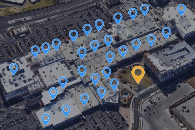
Imagine a world where you could easily visualize and analyze location data from the comfort of your device. This is the promise of geocoding API, a technology that is transforming our understanding of spatial data and providing innovative solutions for businesses and developers.
This article will embark on a journey into the essentials of geocoding API, uncovering its fundamentals, exploring integration strategies, helping you comprehend data formats and structures, and sharing best practices for optimizing performance.
Geocoding API Fundamentals: A Comprehensive Introduction to Location-Based Data

Geocoding API is a tool that turns physical addresses into geographic coordinates, and vice versa, a process known as reverse geocoding. It is a key component of many applications we use daily, from ride-sharing apps to food delivery services, and plays a critical role in the emerging field of location-based data analytics.
The process begins with an address or place name, which is sent to the geocoding API. The API then cross-references the input with a vast spatial database to find the corresponding geographic coordinates.
These coordinates are returned as a geocode, which can be used to plot the location on a map. Reverse geocoding follows a similar process, but starts with geographic coordinates and returns the closest known address or place name.
The ability to convert between addresses and geographic coordinates is critical for a range of applications. For businesses, it can provide valuable insights into customer demographics and behavior patterns.
For developers, it can be the foundation of innovative apps and services that use location data in creative ways. For researchers, it can offer a novel perspective on spatial patterns and trends.
Integration Strategies: Incorporating Geocoding API into Your Application for Seamless Mapping
Integrating a geocoding API into your application can seem daunting, but the process can be simplified with a few strategic steps. The first is to choose a suitable geocoding API. Several options are available, each with its own strengths and weaknesses.
It’s important to consider factors such as data coverage, accuracy, speed, pricing, and terms of use.
Once you’ve selected a geocoding API, the next step is to integrate it into your application. This usually involves making HTTP requests to the API and handling the responses. Most geocoding APIs provide extensive documentation and sample code, making this process easier.
Lastly, it’s crucial to test the integration thoroughly. This means checking the accuracy of the geocoded data, ensuring the API calls are efficient, and verifying that the application handles API errors gracefully.
Testing should also assess the application’s performance under high load, as geocoding can be resource-intensive.
Data Formats and Structures: Understanding the Output of Geocoding API Responses

A key aspect of working with geocoding API is understanding the data formats and structures used in its responses. Most geocoding APIs return data in a standardized format, such as JSON or XML, which can be easily parsed and manipulated in most programming languages.
The structure of the data within these responses can vary, but typically includes a status code, a list of results, and metadata about the query.
Each result usually contains the geocoded coordinates, the formatted address, and additional details about the location, such as its type and importance.
Understanding the data formats and structures used by your chosen geocoding API is crucial for effective integration. It allows you to extract the relevant information from the API responses, handle errors appropriately, and make the most of the data provided.
To gain a deeper understanding of the data formats and structures, it’s recommended to refer to the API documentation and experiment with different queries.
Optimizing Performance: Best Practices for Efficiently Utilizing Geocoding API in Your Projects
Efficient use of geocoding API can greatly improve the performance of your applications. Here are some best practices to keep in mind.
Firstly, minimize the number of API calls. Each call to the API consumes resources and can slow down your application. By caching results and only geocoding when necessary, you can significantly reduce the number of API calls.
Secondly, batch your requests. Many geocoding APIs support batch geocoding, which allows you to send multiple addresses in a single API call. This can be more efficient than making separate calls for each address.
Lastly, handle errors effectively. Geocoding APIs can return errors for a variety of reasons, such as invalid input or rate limits. By handling these errors gracefully, you can prevent your application from crashing and provide a better user experience.
Conclusion

In conclusion, geocoding API is a powerful tool that can bring a wealth of location-based data to your fingertips. By understanding its fundamentals, integrating it effectively, mastering its data formats and structures, and optimizing its use, you can unlock its full potential and bring a new dimension to your applications and analyses.
